Your cart is currently empty!
Sale!


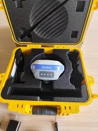
CHCNAV RS10 Handheld SLAM 3D Laser Scanner + GNSS RTK
KSh 3,200,000.00
The RS10 integrates GNSS RTK, laser scanning, and visual SLAM technologies into one single platform. This fusion increases the efficiency and accuracy of both indoor and outdoor 3D scanning and surveying tasks. It gives surveyors the ability to work in areas with weak GNSS signals, providing unparalleled flexibility. Designed for surveying, BIM, forestry, power line…
Description
The RS10 integrates GNSS RTK, laser scanning, and visual SLAM technologies into one single platform. This fusion increases the efficiency and accuracy of both indoor and outdoor 3D scanning and surveying tasks. It gives surveyors the ability to work in areas with weak GNSS signals, providing unparalleled flexibility. Designed for surveying, BIM, forestry, power line inspection, underground mapping, and more, the RS10 embodies versatility, making it an essential tool for professionals looking to expand their surveying capabilities
Related products
-
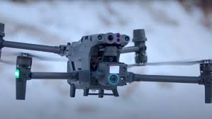
DJI Matrice 30T
KSh 4,000,000.00 -
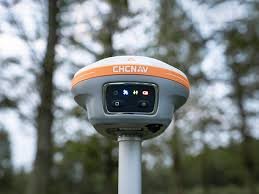
CHCNAV GNSS i89 VISUAL RTK ROVER KIT
KSh 532,000.00 -
CHCNAV GNSS RTK i73 ROVER KIT
KSh 455,000.00 -
CHCNAV GNSS RTK BASE +ROVER
KSh 750,000.00 -
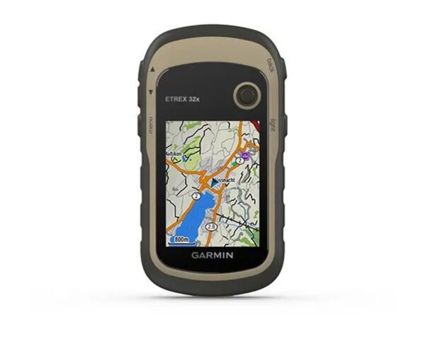
Garmin eTrex 32x
KSh 26,000.00
Reviews
There are no reviews yet.